DTPR is hosted here by
Aerial Imagery to Improve Decision Making & Resource Deployment

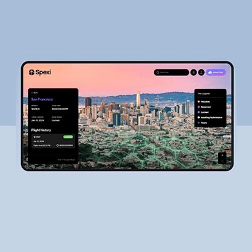
Spexi's Network activity in Detroit isn't a formal Michigan Central pilot. However, since Spexi's innovative efforts are taking place in and around the Advanced Aerial Innovation Region, the Spexi team was eager to leverage DTPR to share details of their efforts with the community . More information can be found at https://www.spexi.com/community-impact.
Spexi delivers standardized ultra-detailed Earth imagery that traditional methods such as fixed-wing aircraft and satellites cannot deliver. While doing so, Spexi ensures personal privacy by capturing images at an altitude of 250ft AGL (Above Ground Level), which is low enough for high-resolution images but high enough that faces, license plates, and house numbers are not recognizable.
There are numerous practical and strategic ways Spexi imagery benefits you and your community.
- Spexi works with government agencies to reduce the likelihood and mitigate the impact of natural disasters
- The data we provide local governments are used for urban planning to improve land use, community planning and to reduce traffic congestion.
- Government agencies and organizations rely on Spexi data to monitor the health of urban forests, rivers & water sources.
- Ride hailing and food delivery apps rely on aerial imagery data to ensure travelers and deliveries arrive on time and safely.
- Virtual reality platforms and games rely on Spexi data to create immersive experiences.
Spexi offers a unique solution that works with drone pilots from your local community, this ensures that funds are reinvested into your local economy.
Learn more at http://www.spexi.com
How does this technology make you feel?
Question 1 / 6
